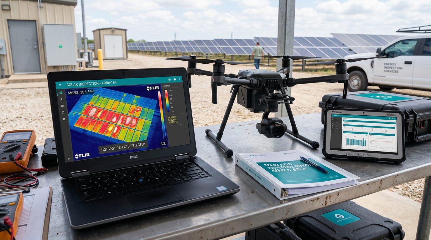
Drone Inspection Deliverables and File Formats
From geotagged images to defect registers, point clouds and EAM work orders — what to ask for and which formats your systems need.
Common deliverables
Raw images and video, geotagged image sets, annotated defect reports, thermal reports, orthomosaics, point clouds, 3D meshes and digital twins, GIS layers, CAD/BIM-compatible outputs, vegetation-clearance analysis, asset inventories, engineering reports, maintenance-priority registers, API delivery and EAM/CMMS work-order integration.
Open formats to request
JPEG/TIFF for imagery; radiometric thermal source files (not just coloured JPEGs) when temperatures matter; GeoTIFF for orthomosaics; LAS/LAZ for point clouds; OBJ/GLB for 3D models; CSV, GeoJSON or KML/KMZ for defect and asset locations; and PDF for signed reports. Open formats keep your data usable across GIS, point-cloud and 3D tools.
Systems integration
If findings must land in Esri ArcGIS, IBM Maximo, SAP, ServiceNow or another enterprise system, say so in your request. Ask whether the provider can deliver via API, webhook or a mapped import file, and who maintains the asset-ID matching.
Define defect classes and severity
Agree the defect classes, severity scale and photo evidence required per finding before flying. A consistent maintenance-priority register is usually more valuable than thousands of unreviewed images.
Ready to compare providers?
Describe your project once and get quotes from suitable inspection providers.